


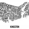
Kingston Neighbourhoods City Map |

|

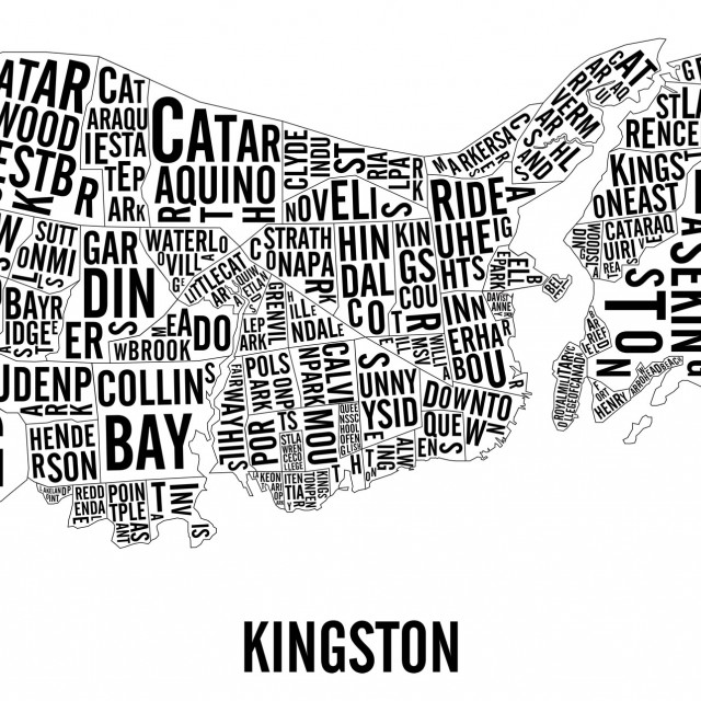
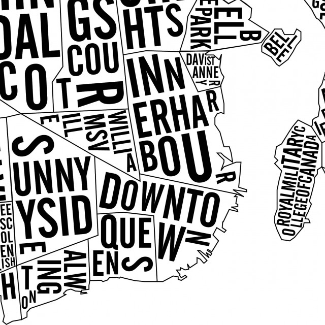
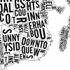
This typographic poster is a geographically exact representation of the different landmarks and neighbourhoods of Kingston, Ontario. You can identify locations like:
- Queen's University
- Downtown
- Sunnyside
- Kingscourt
- Inner Harbour
- Alwington
- Cataraqui North
- and many more!
The Kingston city map is available in 2 formats:
- 51 x 66 cm - $60
- 31 x 46 cm - $40
Each poster are printed by hand using the silkscreening technique which makes each print unique and of better quality than regular print. Each city map poster is stamped, numbered, dated and signed.
The Kingston map is shipped in a plastic sleeve which is then put in a cardboard tube to ensure that your item makes it to your place without a dent.
We are now using a new type of paper: the Classic Crest – Eggshell 100lbs Cover. Slightly textured and thick to make sure that the poster will not wrinkle in the frame.
The one displayed on the fireplace mantle picture is the 51 x 66 cm format.
How to buy
You have two options when buying the poster: through Etsy or through PayPal. In both cases, you can come and pick up your poster and the shipping fees will be reimbursed. Otherwise, the poster is shipped in a cardboard tube and plastic sleeve to protect it adequately.
Visit our Etsy page to buy your own copy of
Kingston Neighbourhoods City Map
Kingston Neighbourhoods City Map
go