


Windsor Neighbourhoods City Map |

|
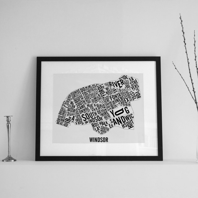
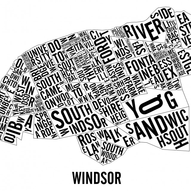
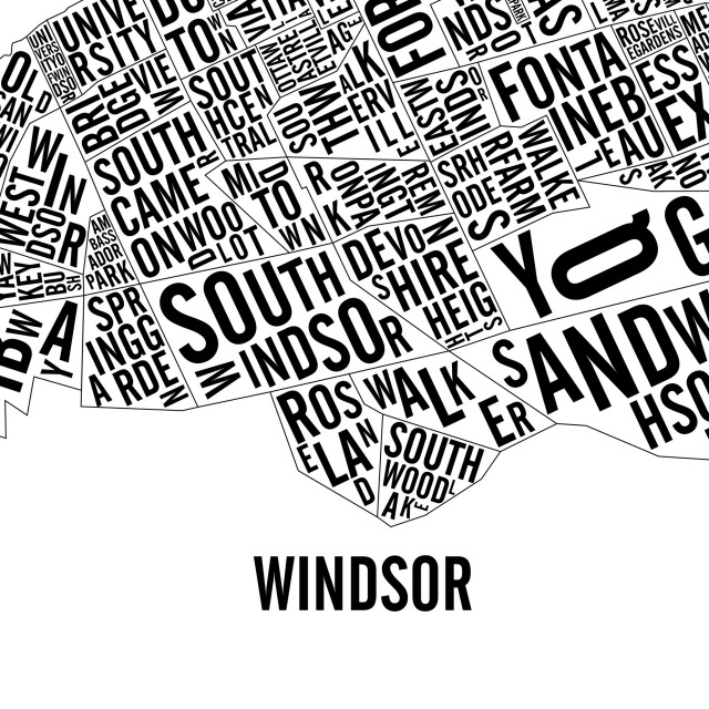

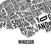
This typographic poster is a geographically exact representation of the different neighbourhoods of city of Windsor, Ontario, Canada. You can identify locations like:
- Downtown
- Ford City
- Bridgeview
- University
- Walkerville
- Ottawa Street Village
- and many more!
We are now using a new type of paper: the Classic Crest – Eggshell 100lbs Cover. Slightly textured and thick to make sure that the poster will not wrinkle in the frame.
The Windsor map is available in 2 formats:
- 50 x 65 cm - Screenprinted by hand - $55
- 31 x 46 cm - Screenprinted by hand - $35
Each city is handmade using the screenprinting technique which makes each poster unique. The Windsor city maps are stamped, numbered, dated and signed.
The poster is shipped in a plastic sleeve which is then put in a cardboard tube to ensure that your item makes it to your place without a dent.
How to buy
You have two options when buying the poster: through Etsy or through PayPal. In both cases, you can come and pick up your poster and the shipping fees will be reimbursed. Otherwise, the poster is shipped in a cardboard tube and plastic sleeve to protect it adequately.
Visit our Etsy page to buy your own copy of
Windsor Neighbourhoods City Map
Windsor Neighbourhoods City Map
go