


You may also like
06 oct
2014
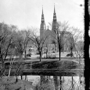
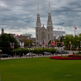
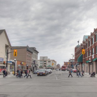
Lowertown East
2014
|
|

|

|

|

|
We gave it a
-5
Massive Expropriations. Massive urban renewal plan. Tremendous failure.
|
Visitors's vote
-0.5
120 votes
Vote here
better
now better
before |
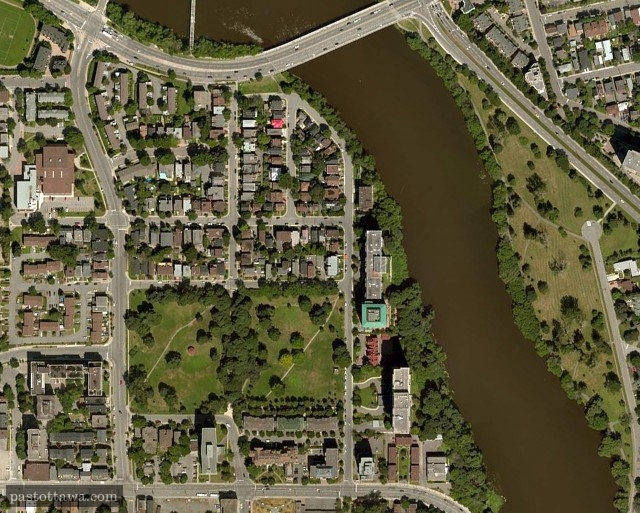
In hindsight, the mistakes from past decisions become dead obvious. With the Ottawa Past & Present project, through several hundred comparisons, we try to demonstrate that past decisions do not guarantee future success. On that front, Lowertown East is particularly striking and anyone wandering or living in this area of the city of Ottawa located between the Rideau River and King Edward Avenue would concur.
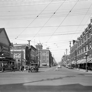
Back in the middle of the 1960s, the city of Ottawa, government of Ontario and the National Capital Commission (NCC) teamed up and imposed tremendous changes on the residents of Sainte-Anne Parish on the basis of embellishing the Capital of Canada. Despite a poverty level higher than other neighbourhoods in Ottawa, the French majority area was a strong community. Numerous tattered houses was evidence enough, for anyone who cared about the image of the city, that something needed to be done to up-scale the area. Without a doubt, the intentions of the tree levels of government involved in this were well-intentioned. Decades later, we can confirm, however, that they failed miserably and Lowertown East never recovered from this urban renewal with its 1970s aftertaste.
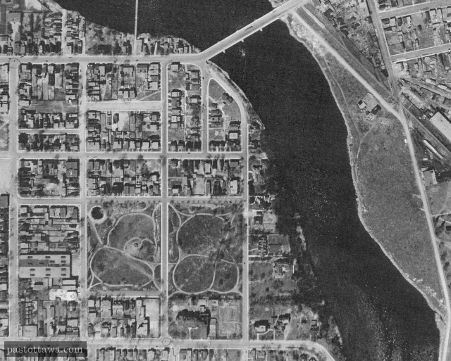
The root causes of this failure are numerous: social housing was ghettoized when it could have been integrated into the existing urban fabric; the street grid has been replaced by a suburban street layout with its curved roads (notably Beausoleil Drive, not shown here) and dead-ends. Finally, Saint Patrick Street, formerly a typical commercial street, was widened and curved to increase traffic, and consequently reduced the value of the surroundings. Instead of tackling the problem with smaller scale solutions and favoring a more organic approach, the government expropriated residences on a large scale and forced a complete reconfiguration of the area. This is how we were doing urban renewal back in the day. After all, the Gréber Plan had made its way through the bureaucrats at the NCC. The conversion of Saint Patrick Street into a major East-West thoroughfare fit marvelously with the plan to promote cars and decentralization. Nowadays, these ideas are kept in check, but it is too late for Lowertown East.
This area photo is great, but only shows one half of Lowertown East and hides the area close to King Edward. Located south of the new Saint Patrick Street, the “English” area of Lowertown East was saved from this brutal urban renewal and [subsequently] preserved the urban fabric of the past. This area is also the one which offers the highest property assessment for Lowertown East. Now that the redevelopment of Lebreton Flats is hitting high on the priority list at the NCC, we sincerely hope that the NCC has learned from it past mistakes. We truly have our doubts.
2014
2015
2 Comments